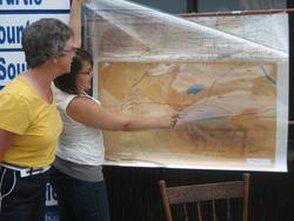
This is essentially the “hard copy” version of the Interactive Map feature of the website. The map is simplified into a base map showing topographical features, overlayed by five layers, each of which reflects an era or broad chapter in the history of southwest Manitoba.
The map is often displayed at community events around our region.

